Impressions
A human lifespan is a mere tick on the geological clock.
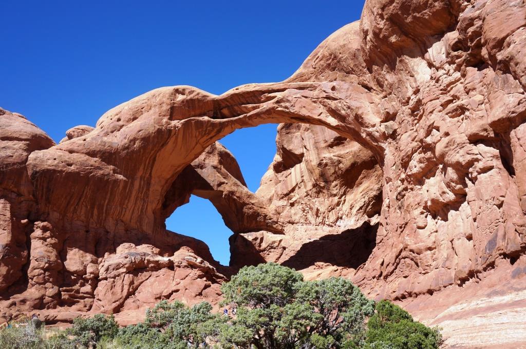
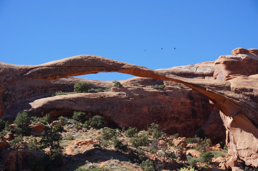
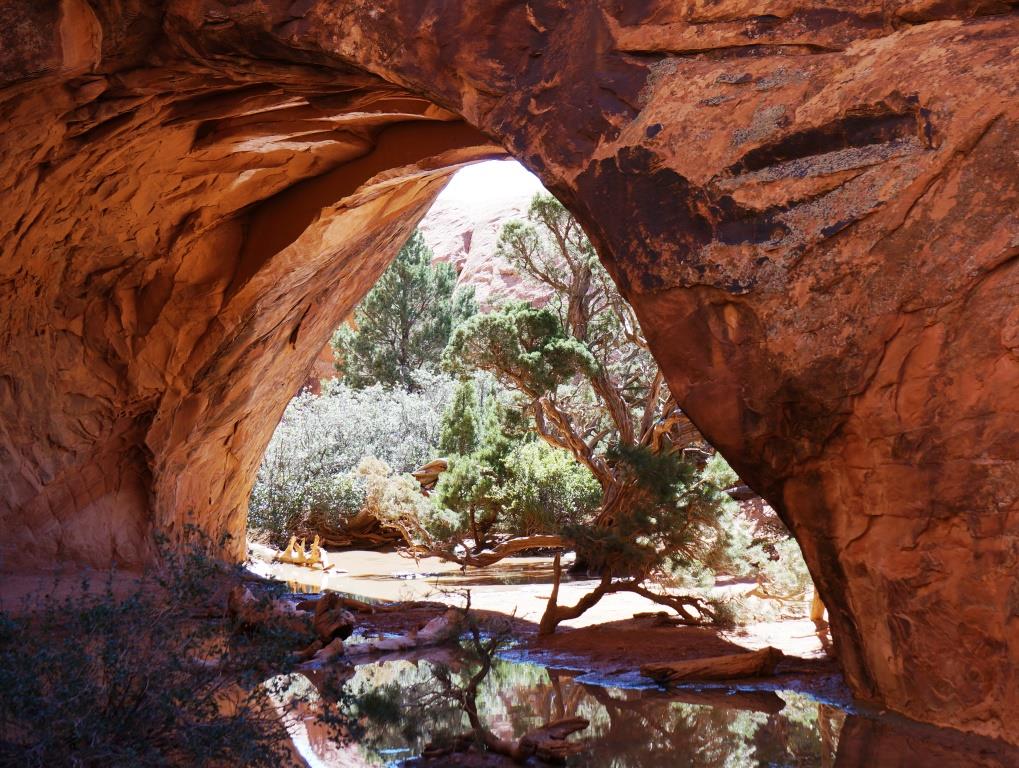
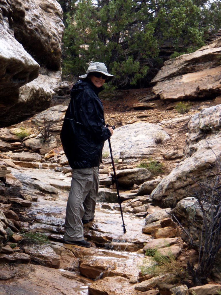
While watching the movie, A Window in Time, about Arches NP, something it said struck me. It said that, on a geological timescale, the arches are like water. They rise and fall, ebb and flow like swift flowing water in a stream.
Have you ever watched a swift flowing stream where eddies, whitecaps, and waves are constantly moving and shifting? Take a snapshot to capture that motion and you have an idea of what the arches are. Ephemeral.
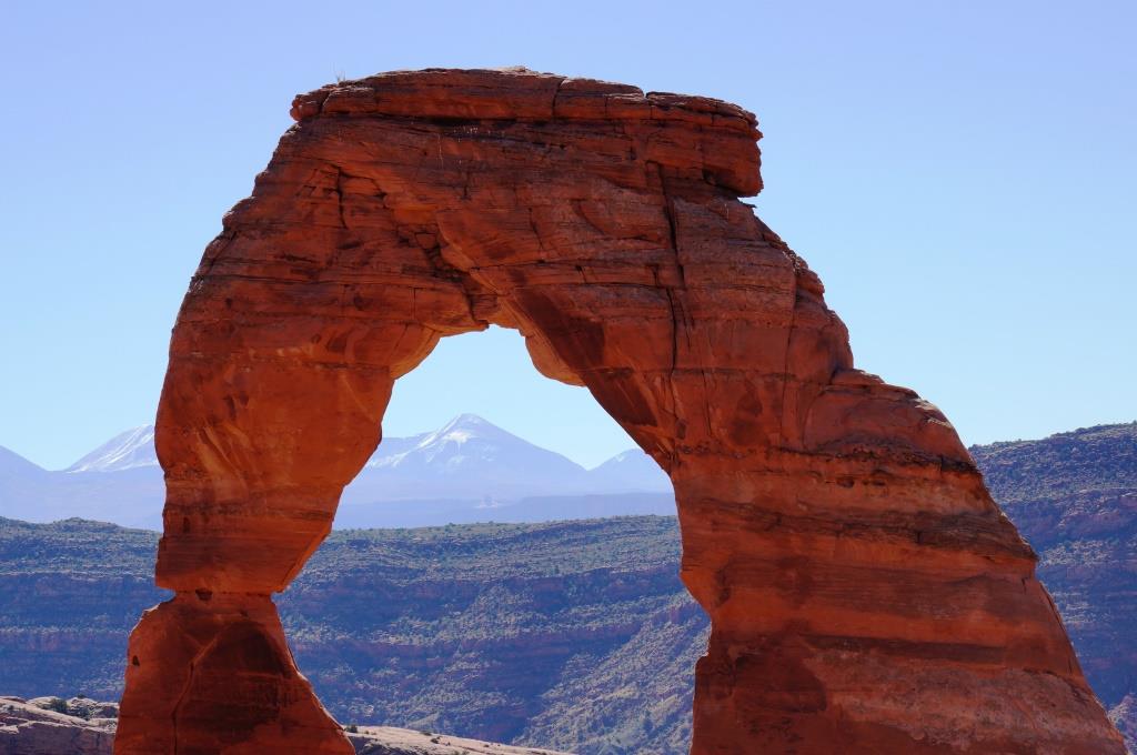
These insights made me think. It was reinforced when I gazed through Partition Arch. You can sense the enormity of our world and our own insignificance. Then think about the enormity of our galaxy and you get a sense of Earth’s insignificance. Think about the enormity of the universe and you get a sense of our galaxy’s insignificance.
But I don’t find that depressing. In fact, I find that awe inspiring. Nature is amazing and being able to see so much of it, in all its grandeur, is humbling.
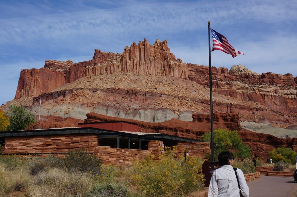
Visitor Center
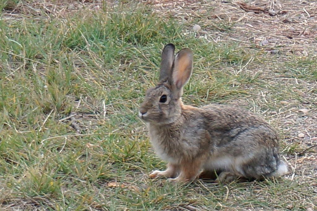
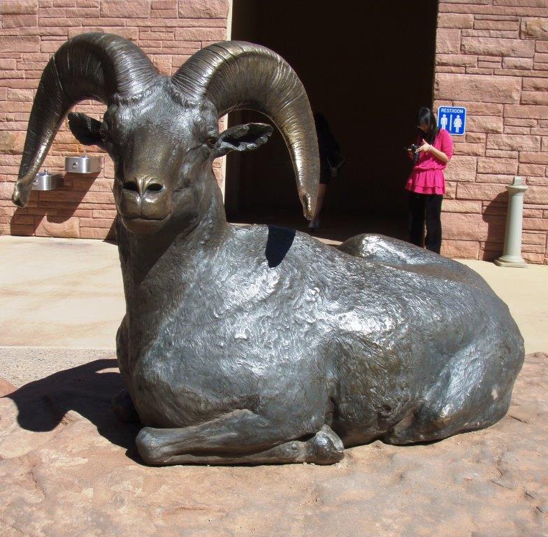
The entrance to the park is about 5 miles north of Moab, UT off Route 191. Just outside the entrance, they have several sculptures of animals native to the area. This is the only bighorn we saw while we were there but we think he is quite handsome.

Sculpture of desert bighorn sheep at visitor center
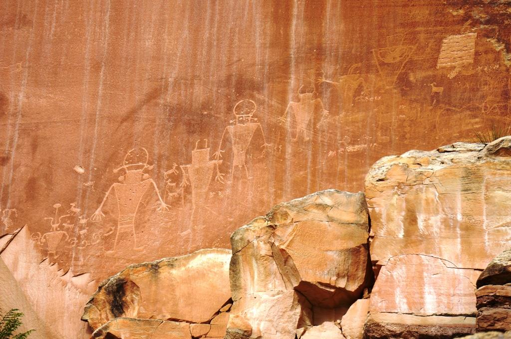
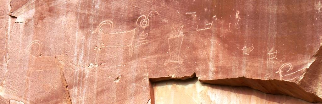
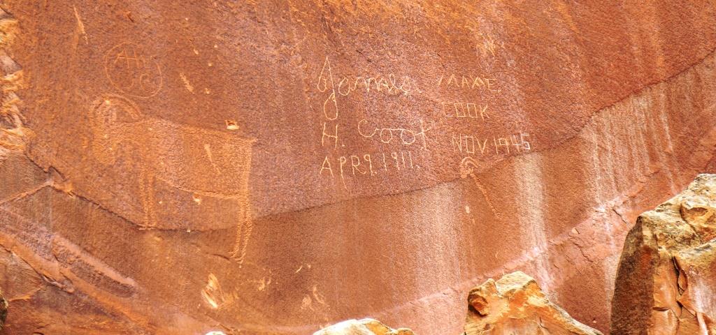
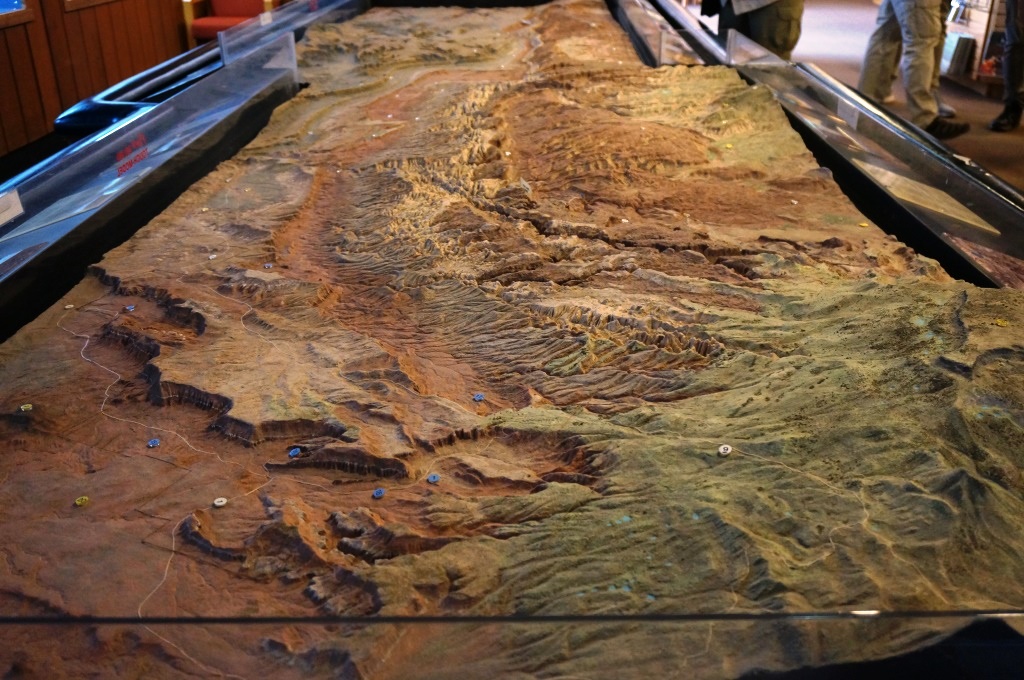
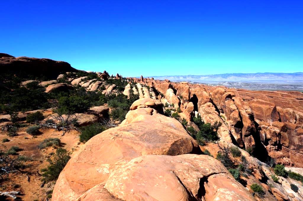
The Visitor Center is small but its exhibits do a good job of explaining how the arches formed, beginning 310 million years ago. Arches was part of a sea that filled and evaporated 29 times, depositing a massive quantity of salt. Over time, the salt was pushed into a dome two miles high, 3 miles wide and 70 miles long. Again, time passes and the salt dome is buried by 5000 feet of sediment that eventually turns into rock. Subsequent uplifts caused the rock layer to crack into fin-like structures. Wind, rain, and ice sculpted the fins and created the arches we see today.
The movie, A Window in Time, was excellent. It had a definite impact on me.
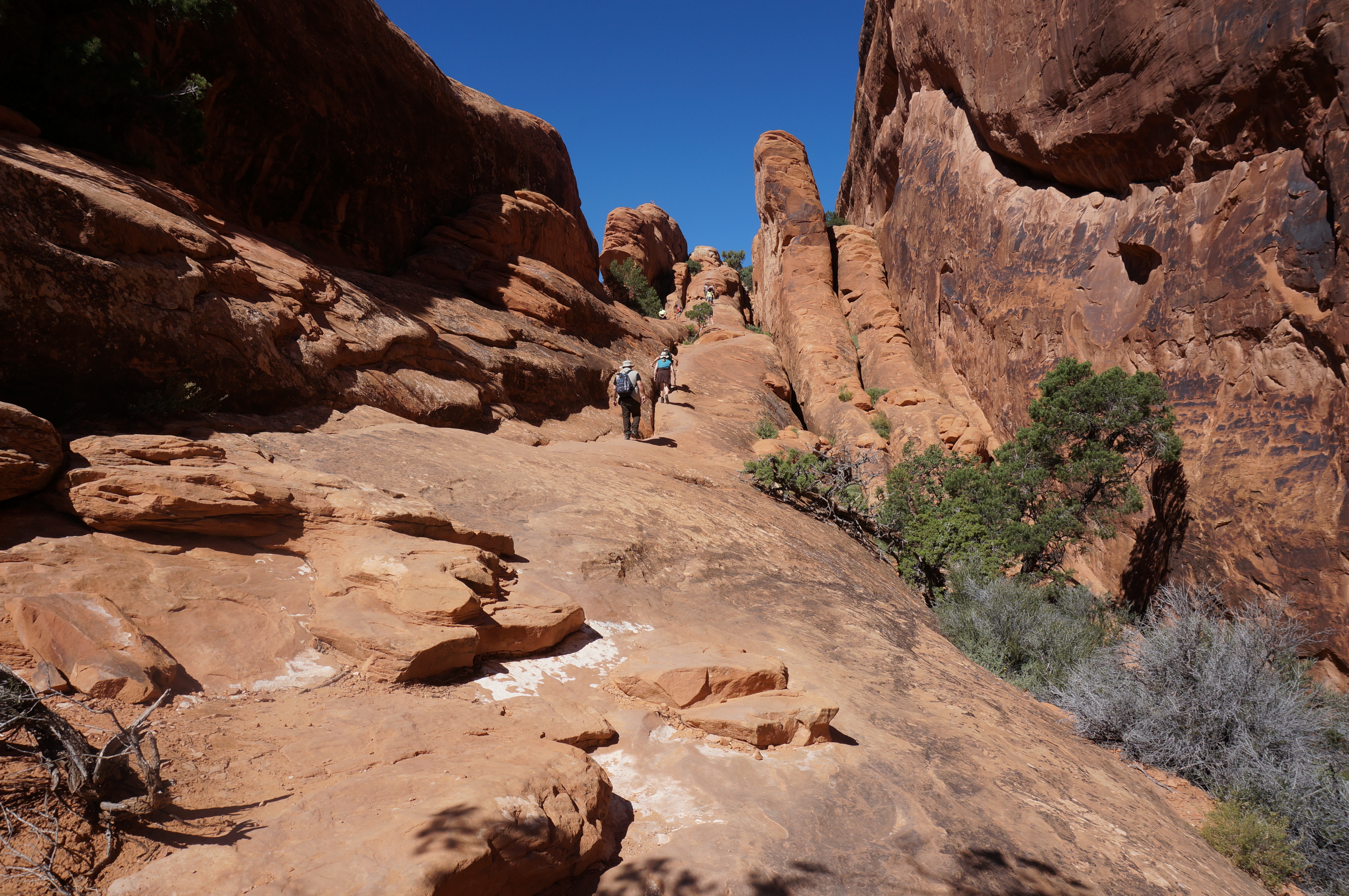
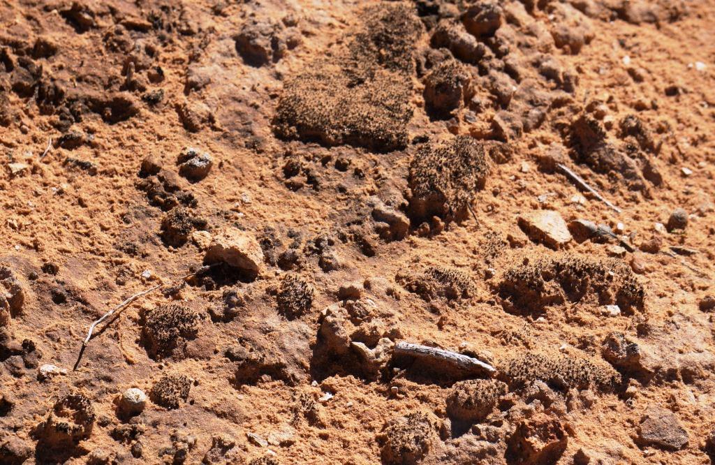
The soil is ALIVE! Many spots along the trail have black crusty patches on the soil. These are cryptobiotic crusts which are combinations of bacteria, algae, fungi, mosses, and lichen. This plant community “glues” the sand together, absorbs moisture, and produces nutrients to support other plant life. Without it, Junipers, Pinon pines, prickly pear, Mormon tea, and other plants cannot grow and multiply. If you step on it, even once, you damage it and it can take years to regrow.
Pet Peeve: There were plenty of signs explaining why you should stay on the trail. Unfortunately, there are plenty of humorons who don’t.We saw thousands of areas that were walked on and crushed.

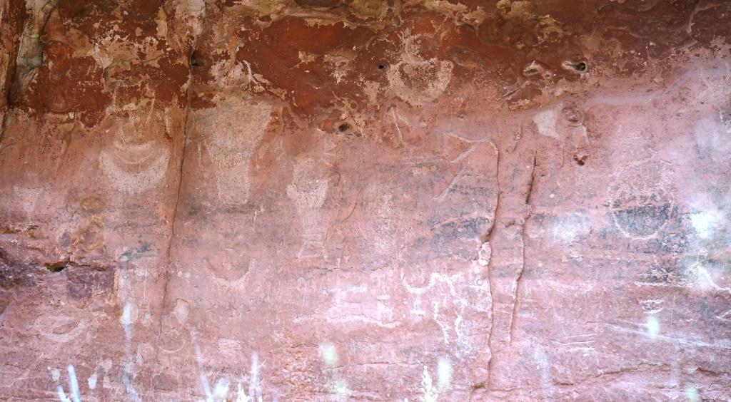
Crust
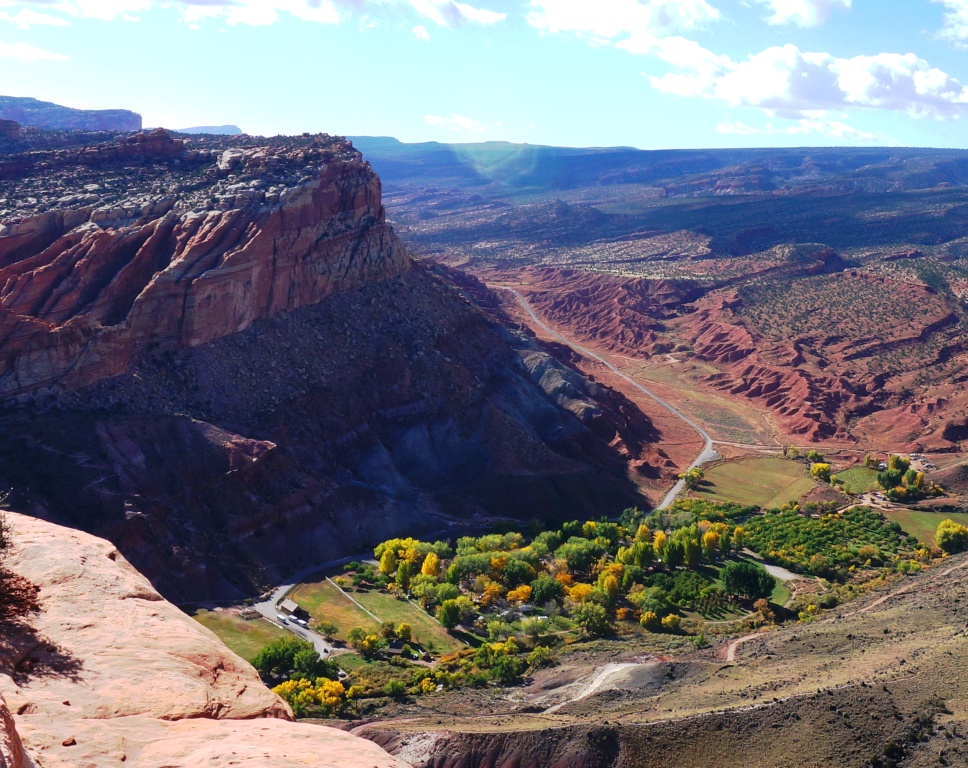
Campgrounds
Arches is very popular this time of year – early October.
Devil’s Garden Campground has 50 sites and is 18 miles from the park entrance. The campground has no hookups, fresh water fill-up station, or dump station. The visitor guide said to expect it to be full from March through October.
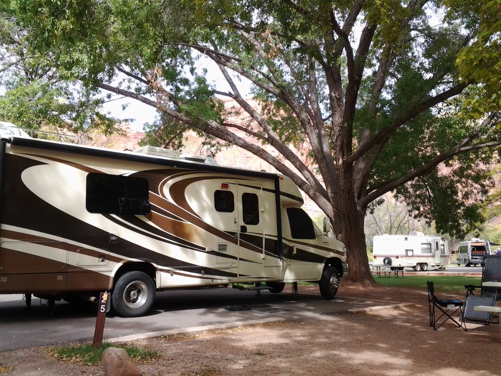
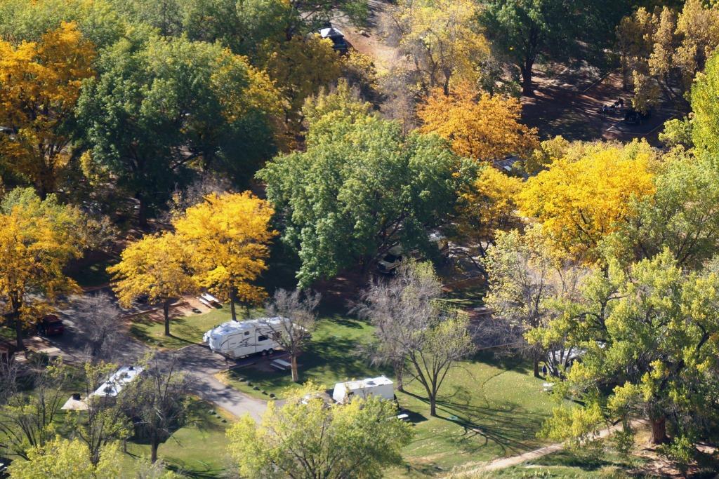
As expected, it was. So we ended up staying at the Riverside Oasis Campground which was about 2 miles from the entrance to Arches National Park. While the campground was right next to route 191 and the sites were close together, they were mostly shaded. Not what I expected to find in this part of the country. We stayed there Thursday, Friday and Saturday then, figuring we had a good shot at one of the public campgrounds, left Sunday morning.
We checked out the Goose Island Campground, part of a string of BLM campgrounds along route 128 which follows the Colorado River. After waiting for about an hour for someone to leave, everyone who already had a site had extended for at least one day. What we learned is that most people only book one night at a time, hoping someone with a better site will leave the next day and they can take it. Live and learn.
Next, we checked out the Sand Flats Recreation Area campgrounds. The park has 120 campsites but only two loops support RVs (A and E). We found one site that would work, but the entire area was very dusty and virtually treeless. We decided to cross that one off our list.
Sooooo, we returned to the Riverside Oasis Campground for two more nights.
What we found out later is that there was a huge mountain bike rally in Moab the weekend we were there. We didn’t know about it but that explained why the campgrounds were so full.
J
Food
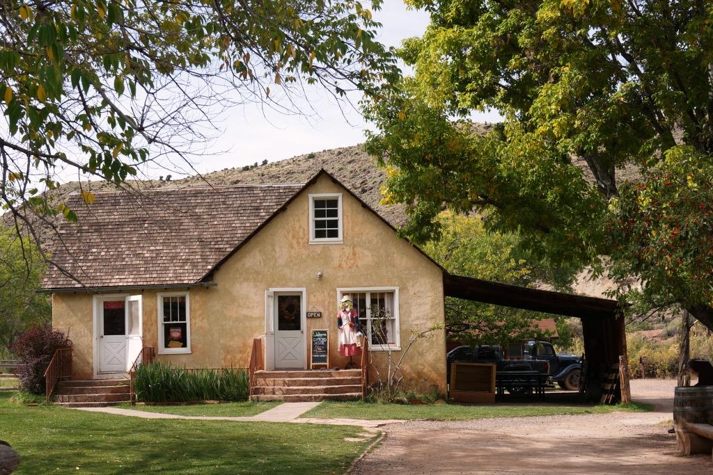
Since we were in the area for so long and SO close to the quaint downtown Moab, we had to check out a few restaurants. Our first was the Moab Brewery. Very good food, good service and lots of neat beer to choose from. The only downside is if you are a sampler. Utah has a law that restricts service to no more than two drinks served at a time so no sample “flights” of beer. You can get two little samples, then order two more, then order two more. It works but the wait staff must hate it. We enjoyed their really good onion rings as an appetizer then moved on to steak for Holly and a sampler for John that had sausage, ribs and brisket. All very good. The onion rings were to help us stall until their seasoned potatoes were available (maybe at 5:00) and they were worth the wait. Our next venture into town took us to the Moab Diner. It is the classic diner style inside with vinyl booths but they have an ice cream counter at the front so you can get awesome milkshakes and desserts after you eat (or just walk in and get the goodies without the healthy meal first). We enjoyed both of our meals and took a ton home to eat another day. Holly had a chicken burrito with green chili sauce (huge and yummy and crammed full of chicken) and John enjoyed their pork chop dinner special. His was good but not great. There was no room for dessert but we weren’t leaving without a thick, rich, chocolate milkshake to go… it didn’t make it back to camp.
H