October 23-27, 2014
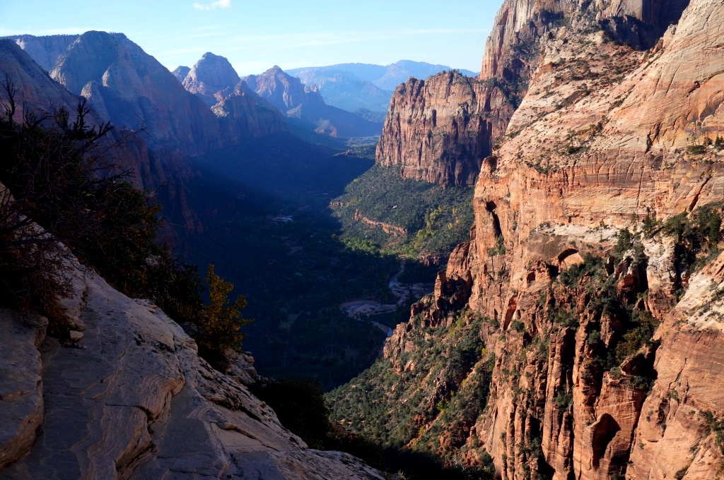
Zion Canyon from Angel’s Landing Trail
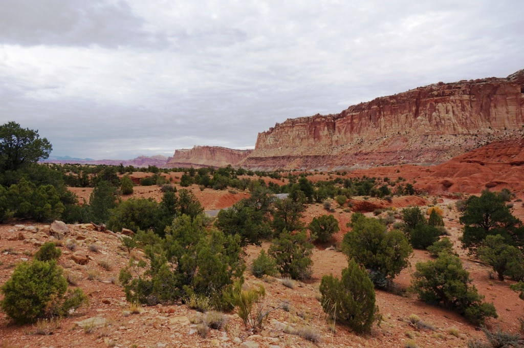
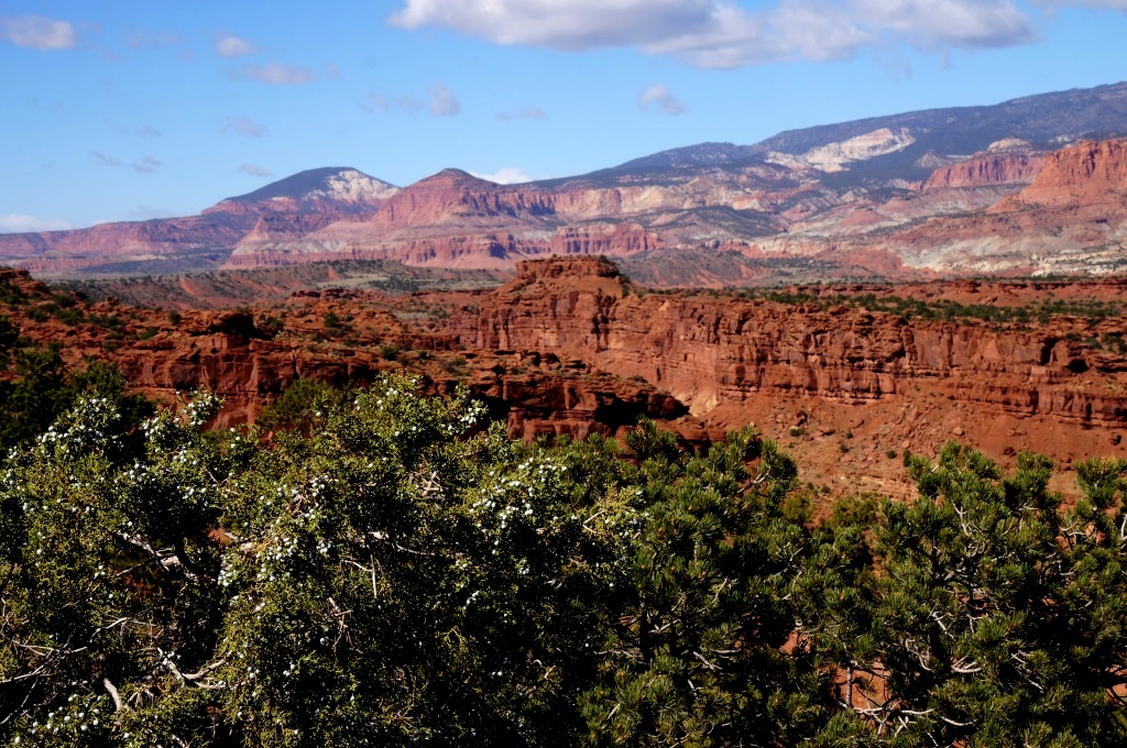
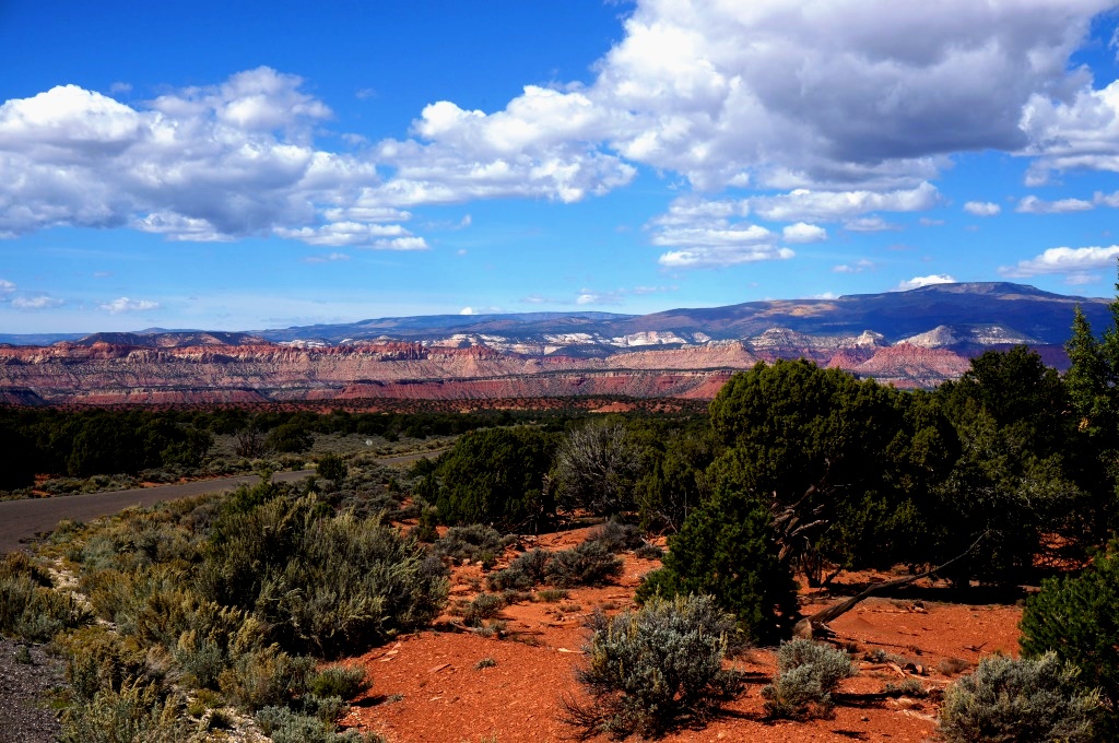
Zion is impressive. The massive cliffs towering overhead are quite a sight to see. While Bryce Canyon was set on the clifftops with trails leading down into the canyon, Zion is on the canyon floor with trails leading up… way up… way, way up. It is a narrow canyon and the space along the bottom is very limited so they restrict the traffic going up the canyon past Hwy 9 during the main visitation season. They have free shuttles instead. This is a good thing. The shuttles are really nice and make it easy to get everywhere you want to go, even into town. They run frequently and stop at all shuttle stops going up and back down the canyon. There is a panel at the visitor center showing massive traffic jams from years back. Prior to the shuttle they had 5,000 buses, RVs and cars coming into the canyon every day where they then had to fight for the 450 available parking spaces. The roar of the engines bouncing back and forth across the canyon and the fumes trapped between the canyon walls must have been evil. We really liked the shuttle.

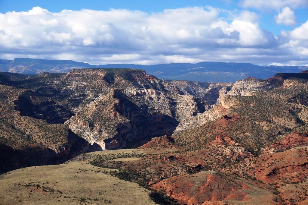
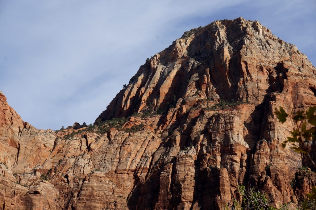
Zion Canyon View
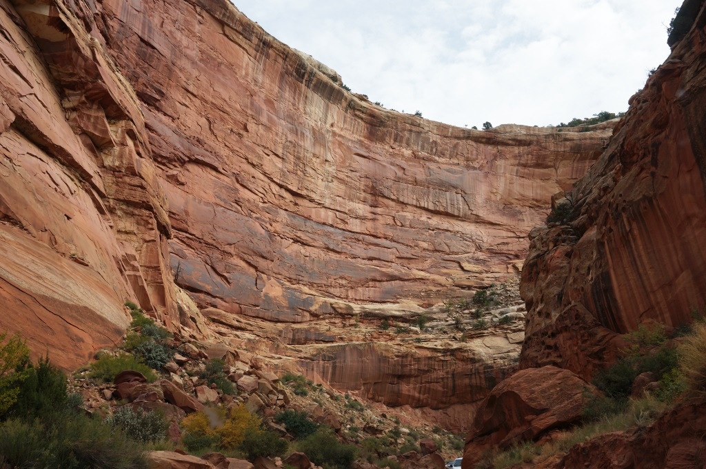
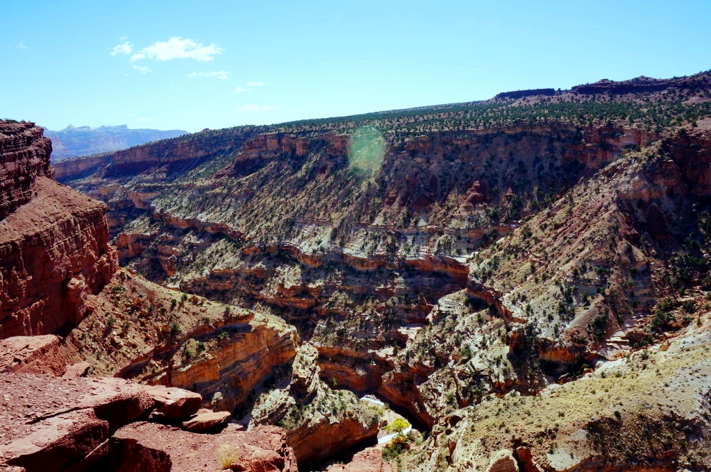
It is difficult to capture the immensity of Zion. Only so much fits in the camera view and when you do get a nice shot, there is little to show the scale. Since the canyon twists and turns, any photos capture only a small section of the canyon. Some of the cliffs rise almost 3,000 feet above the canyon floor. You can hike up there if you like… we chose not to.
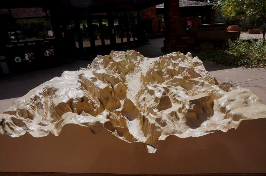
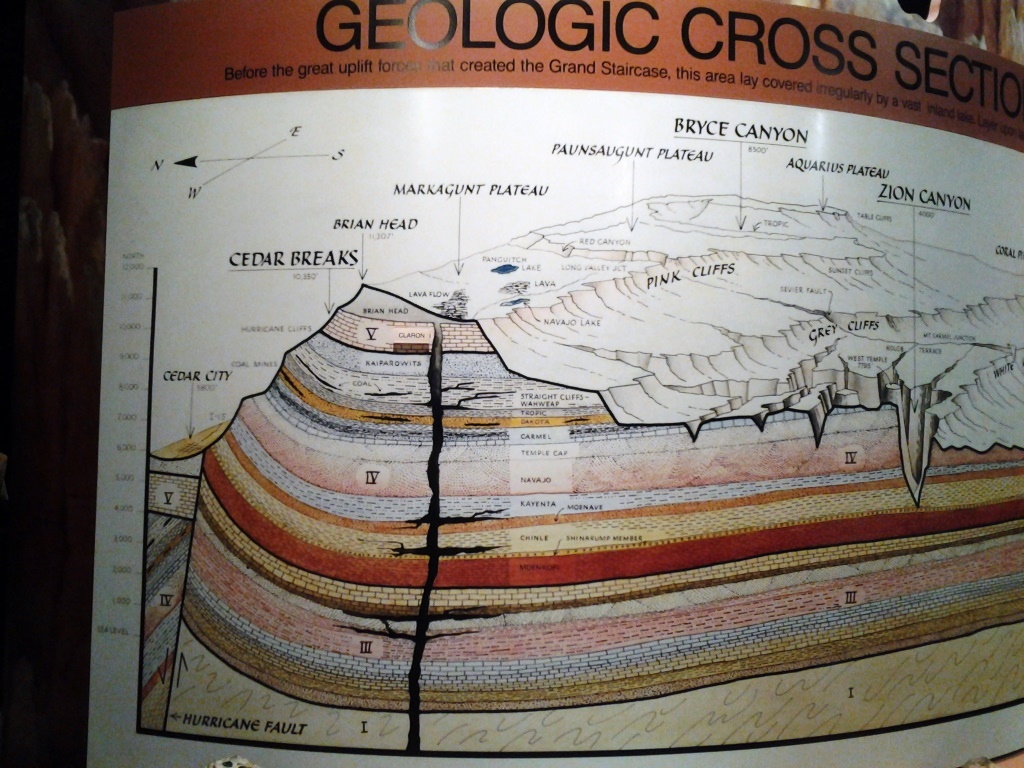
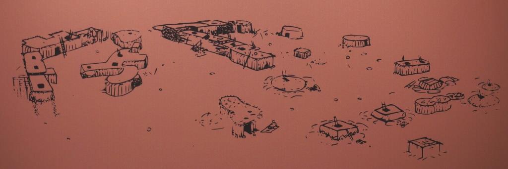
3D Map at Visitor Center
Visitor Center – there are basically three parts to the visitor center: the bookstore, Ranger help desk, and the back country desk. Most people will hit the Ranger help desk first to check on scheduled programs and hike recommendations. Those planning to do extended hikes into the wilderness areas need to hit the back country desk for permits. The visitor center is “green” with a Trombe wall for heating, natural daylighting, and very neat cooling towers where hot air blows across wet sponge type things, cools rapidly, then drops down and flows through the visitor center. Very nice. There are a couple of TV screens mounted on the walls showing short videos. You just push the button of your choice and settle back for the show. A large part of the visitor center is actually outside under sun screens. There are large interpretive panels under each screen so you can wander and learn about those topics that interest you. We, of course, read them all.
The 3D map outside the visitor center shows the contours of the canyon on either side of the Zion Canyon Scenic Drive (visitor center would be at the far end of the map). The park is massive but this small area is the piece that most people visit. Note that shark fin type promontory sticking out into the canyon. That is Angel’s Landing and there will be a separate blog posting for that world renowned hike.

Human History Museum Display
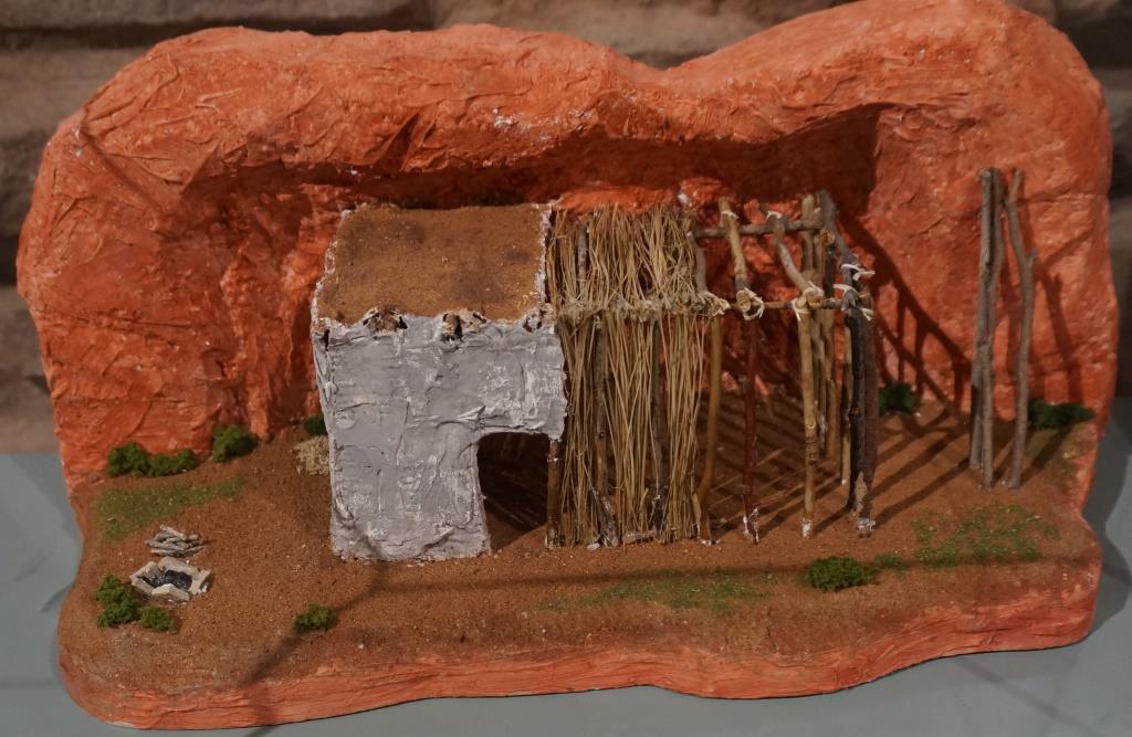
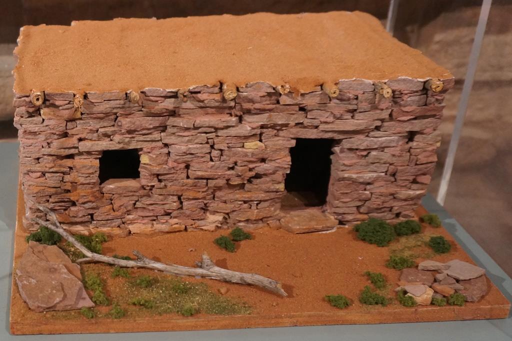
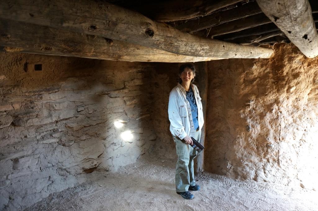
Human History Museum – this is a separate building that can be reached by car or shuttle. They have very good exhibits about the Native Americans, Mormon Settlers, the Park Service and the CCC and their activities here in the canyon. There is a theater with a movie that you can watch AND an old time projector behind glass and voice recording of J. L. Crawford. He grew up on a farm in the canyon, washed dishes at the lodge when it opened, worked here with the CCC and then became a Ranger at Zion. This gentleman put together the slides for the show and helped set up the museum. It’s always cool to hear the history in the voice of someone who lived it. Most people seem to miss this so look for it – find the antique projector in the glass case – the button to start the slide show will be on the display panel in front of you. There is a small gift shop here and a small art gallery.
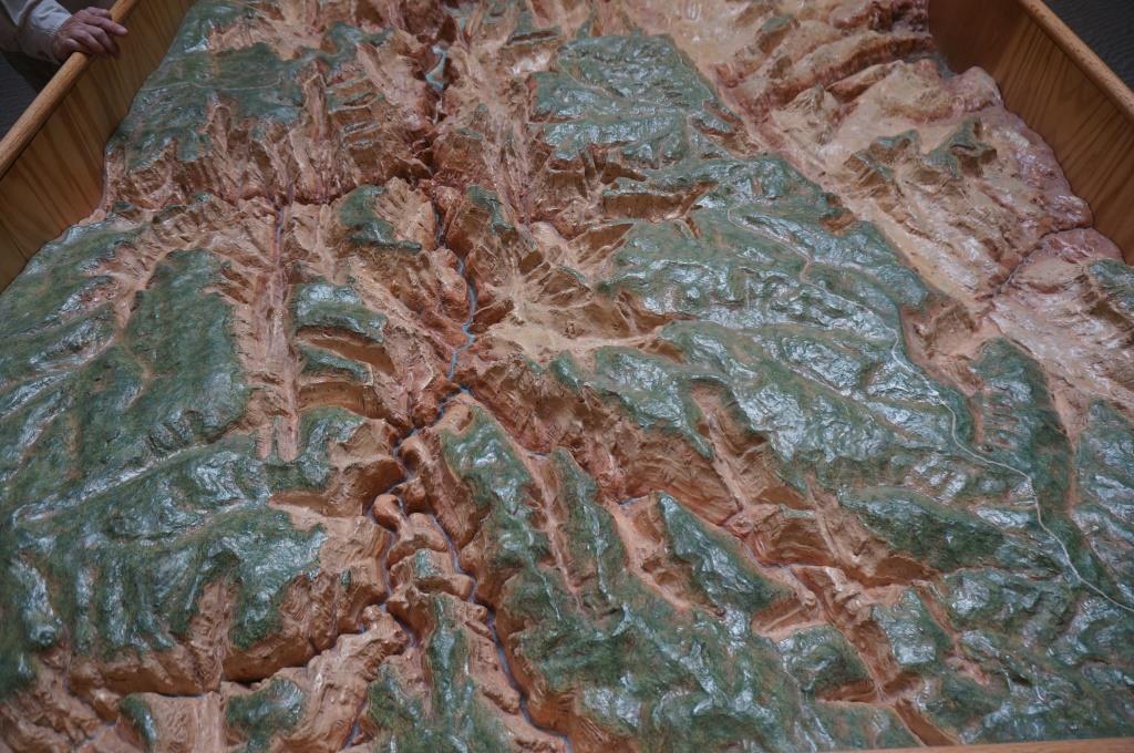
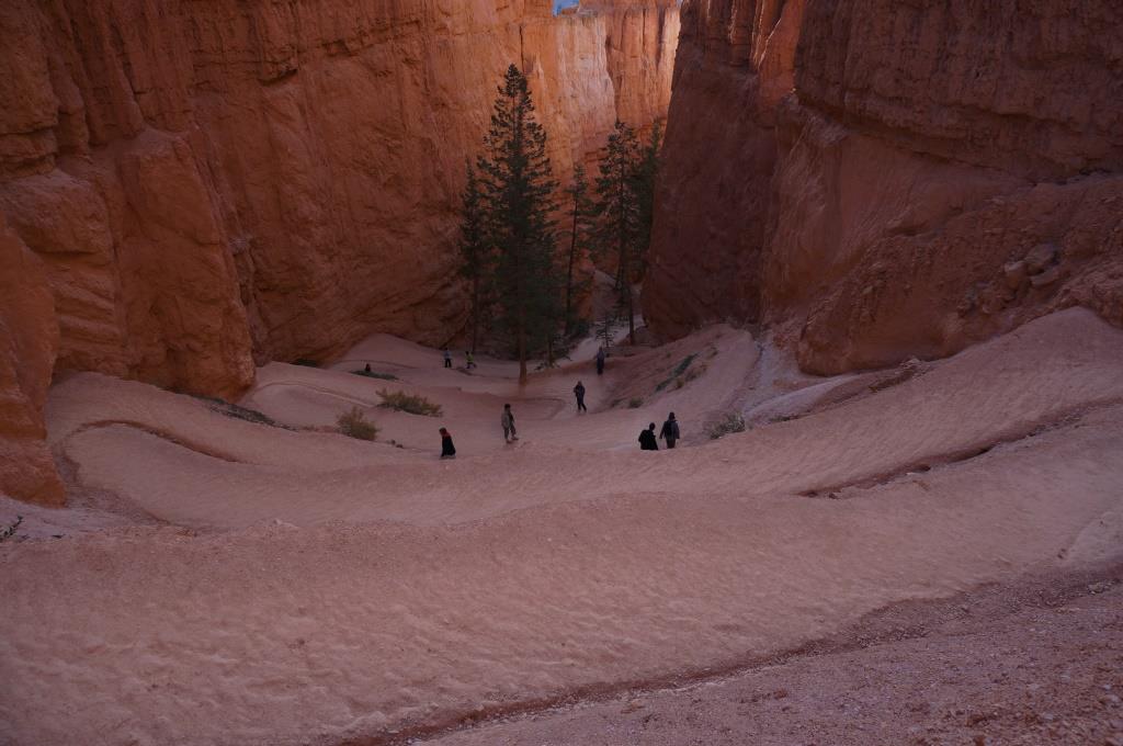
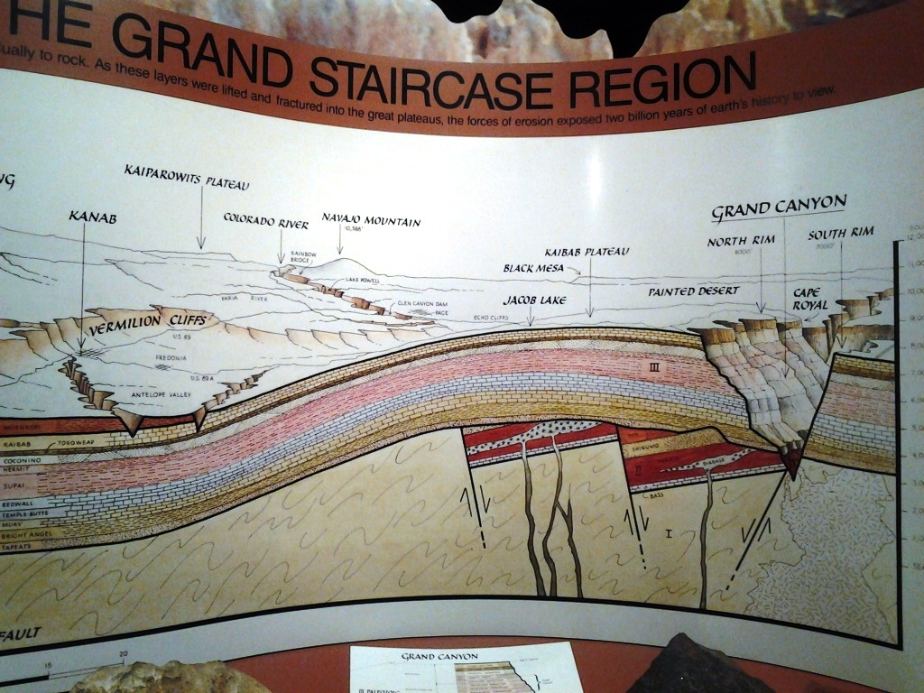
Relief Map of the Narrows
The relief map above is at the Human History Museum and the photo shows the portion called “The Narrows”. This is piece of the canyon at the end of the road. You get off the shuttle then walk a mile on a paved trail along the river until the pavement ends. The canyon is narrow, the cliffs tower high above you, there is room for only the Virgin River to slide by between the rugged cliffs… and here the hike begins. There will be a separate blog post about this world renowned hike.
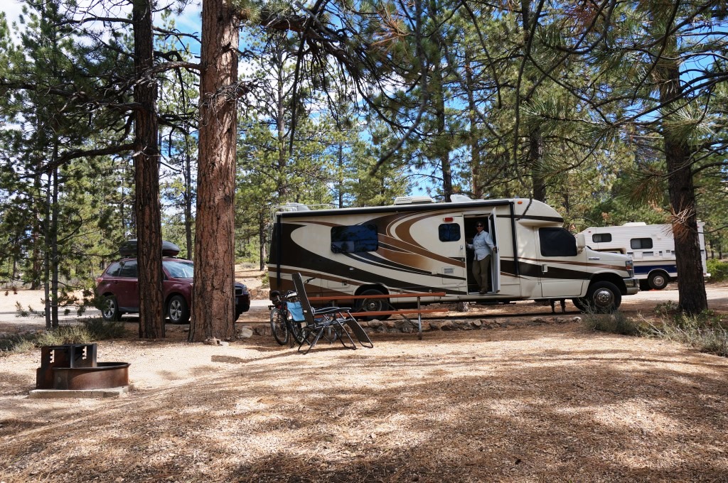
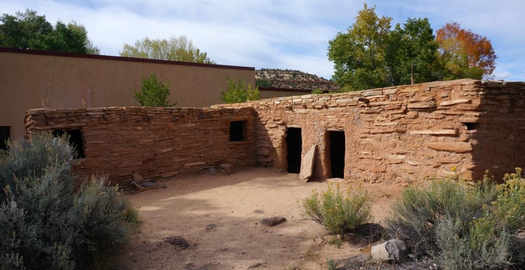
Campground – we were lucky enough to get a reservation at the Watchman Campground with electric hook ups. It is in the mid- to upper-eighties during the day and we are running the fans to keep the house cool enough that we don’t kill the cat. It is a comfortable mid-40s to mid-50s at night. The campground is very nice with clean restrooms, water spigots, trash dumpsters and recycling bins placed so they are not far from any site. They have a dump station near the exit. The sites are large and somewhat level with enough vegetation to give you some screening between sites. Our site is partly shaded but we did see a few sites in full sun. Our site is along the river so it was an extra $2.00/night (it was the only site available when we reserved) BUT there is a dike type thing between us and the river so you can’t actually sit in your site and watch the water go by. You can hear the water but you have to walk up and over the dike to see the river. Just across the narrow river is a motel which is part of Springdale. Zion’s boundary is actually between us and the river. We had excellent Verizon and AT&T coverage. We checked out the South Campground which is first come/first served. It makes us think it is the old campground and they built the Watchman to accommodate RVs. Most of the sites are not as level and some would fit only a car or very small RV. There are some larger ones and we did see some motorhomes that were at least 35′ long in there. Both campgrounds are conveniently located near the visitor center and shuttle stops so once you’re here, you can leave your car.

Campsite in Watchman Campground
Other – they have a Nature Center but it is only open mid-May through mid-August so we missed that. There are amphitheaters for evening programs but those were done for the season. The Zion Lodge has a restaurant (somewhat pricey, didn’t eat there so no review on the food) and a snack bar type place that serves fast food, beer, ice cream, etc. There is also a gift shop with some different items than what they sell at the visitor center so it is worth checking out. Bicycling is allowed on park roads and on the Pa’rus trail which runs 1.7 miles between the visitor center and Canyon Junction shuttle stop at Hwy 9 where the Zion Canyon Scenic Drive heads up the canyon with restricted access. Each shuttle is capable of carrying at least 2 bikes. Zion is also very popular for Rock Climbing as seen in the picture below… well, they can be seen if you zoom in enough to spot the two climbers just left and up of center in the photo. They are on the lighter section of cliff face below the jagged edge and shadow. They are UP there… and we only managed to fit half to two-thirds of the height of that cliff in the picture. We can only assume they intend to climb to the top. We saw climbers on the shuttle with massive bags full of ropes, carabiners and other gear. They must have a hundred pounds of stuff hanging on them when they start the climb. The ones we saw heading out had huge smiles and gazed at the cliffs like they’d reached paradise.
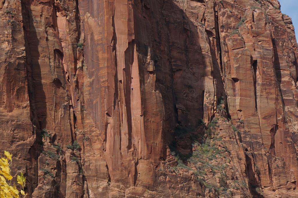
Rock Climbers
Restaurants – we skipped the main restaurant at Zion Lodge but we DID eat at Cafe Oscar’s in Springdale. We had an excellent breakfast at reasonable prices with great service. Flyers in the window showed they sometimes have live music and they have beer and at least margaritas. The Pork Verde Breakfast Burrito was excellent and quite large. It comes with cube style seasoned home fries that are deep fried so they are light and crispy and very, very good. We had considered going back for dinner one night but we wore ourselves out hiking and never made it back to town.
Zion Shuttle/in canyon – The free shuttle acts as a tour bus while running up the canyon. There is a recording with a narrative of the natural and historic aspects of the canyon. If you’re usually the driver, you finally get to enjoy the beautiful views as they go by the large windows. They even have skylights on the roof so you can look up at the sandstone cliffs looming above you, and yes, you can look straight up and still see cliffs. The drivers occasionally stop and point out nearby wildlife or rock climbers.
Zion Shuttle/Springdale – there is very limited parking in the park itself so they have a free shuttle that runs back and forth through the town of Springdale and drops you at a walk-in entrance station to the park. This is right outside the visitor center and the in-canyon Zion Shuttle. You pay your admission fee and head for the visitor center. There are several parking lots in Springdale as well as restaurants, shops, hotels and outfitters.
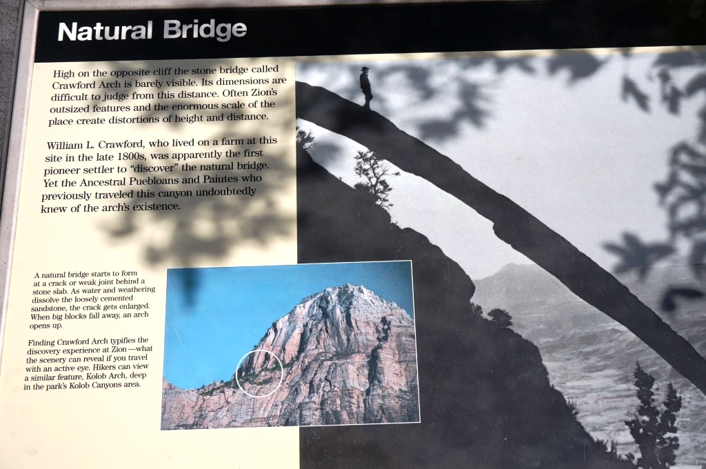
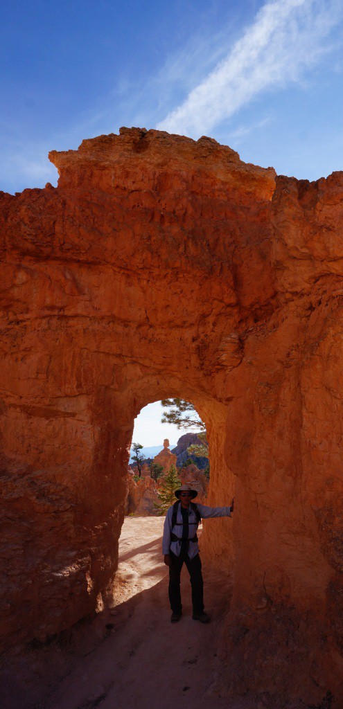
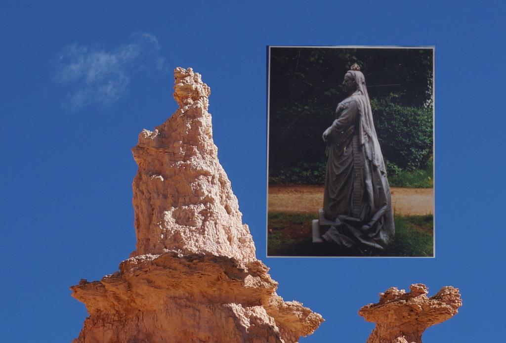
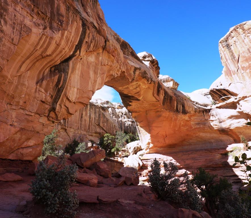
Natural Bridge Sign
Natural Bridge on Cliff Wall
Perspective – In an attempt to demonstrate the size of these cliffs we took a shot of a historic photo of the Natural Bridge which can be viewed from the Human History Museum. Then we took a photo of the bridge itself on the canyon wall. Again, we couldn’t fit the entire cliff into the photo or you would never have seen the bridge on there, but by comparing the picture of the man on the bridge in the old photo and the actual bridge on the cliff wall, you can get an idea of just how big those rock walls are. And if you like rocks, Utah has them. We met a nice couple from the Netherlands, both Geologists, that are here to tour, hike, and read the history of the world in those rocks. Very cool.
So if you like rocks, and canyons, and some really different hikes, Zion is the place to be.
H